CARTOGRAPHIC CREATIVITY.
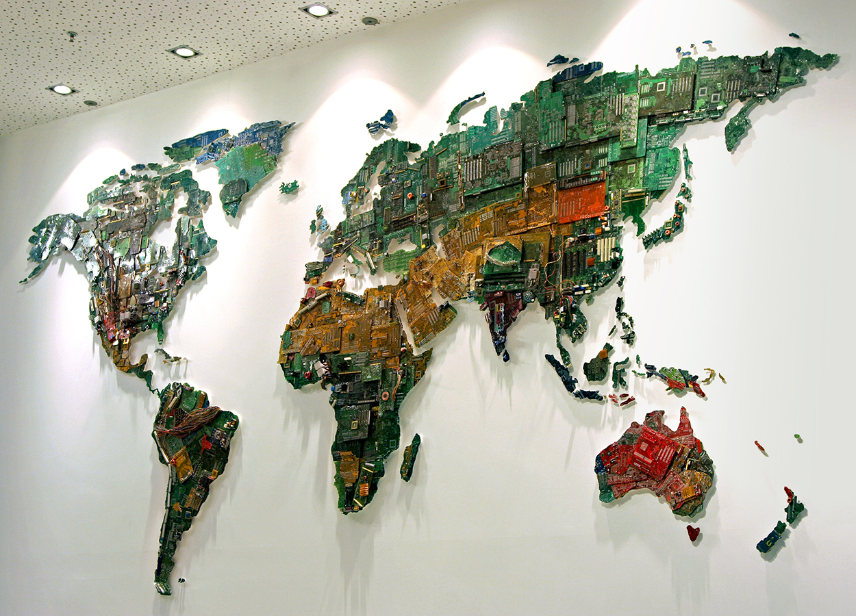
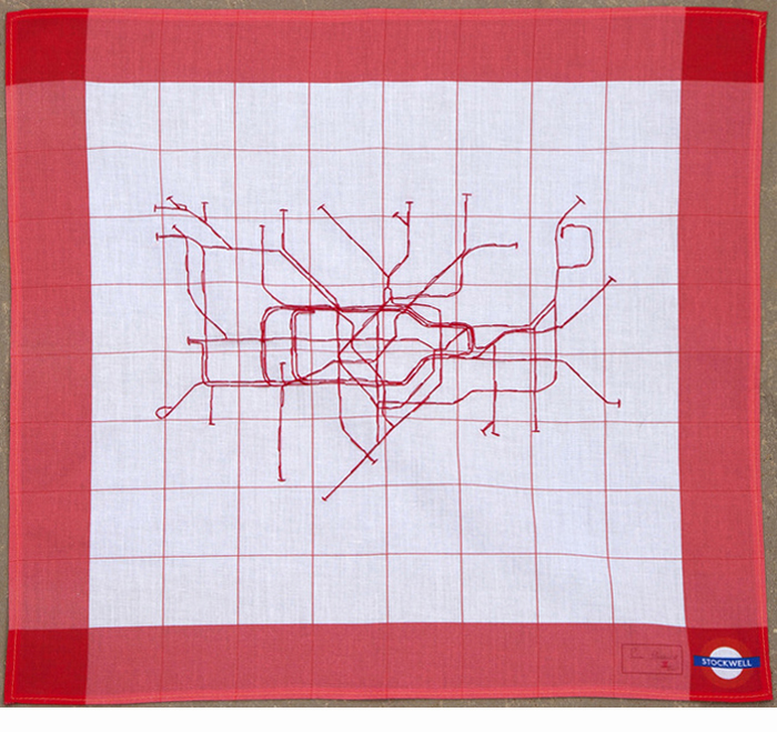
Susan Stockwell used discarded computer components to make “World” for the University of Bedfordshire (U.K.). Below, an embroidered, cotton handkerchief representation of the London Underground map. Photographs © Susan Stockwell.
http://www.susanstockwell.co.uk
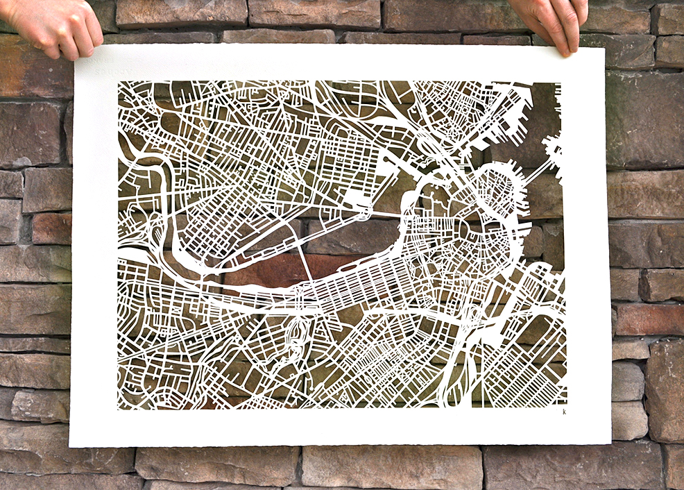
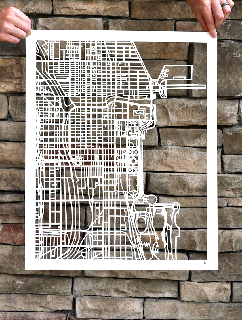
Hand-cut maps by Karen O’Leary. https://etsy.me/2TRswVd
Below, Boston.
Cut-out Chicago.
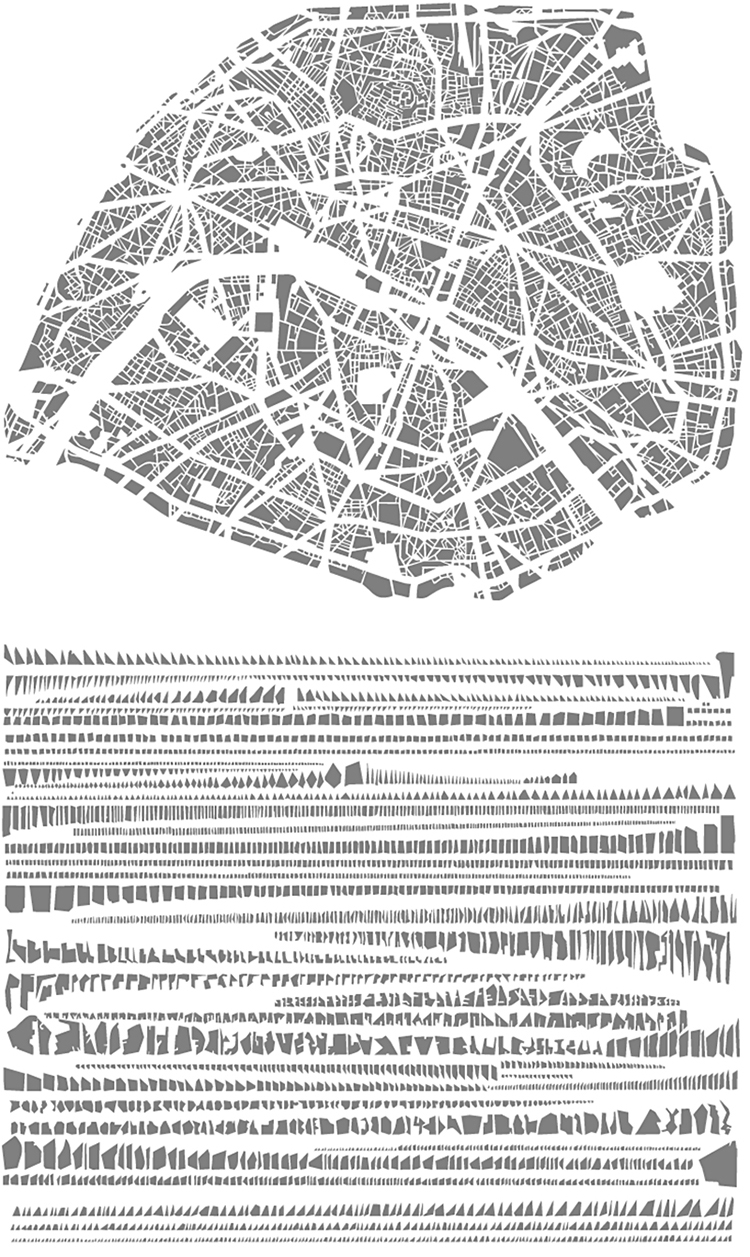
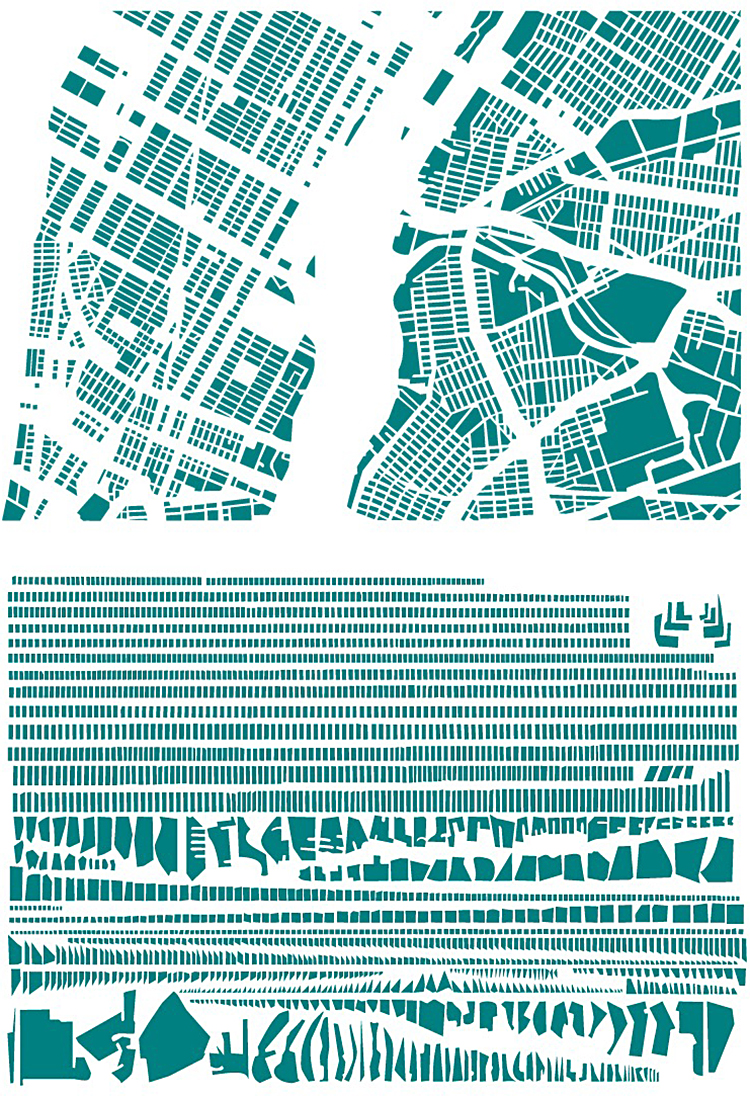
Armelle Caron deconstructs maps into their component shapes. https://bit.ly/2NbDLVU
Below, Paris complete, and arranged in pieces.
Part of New York City taken apart.
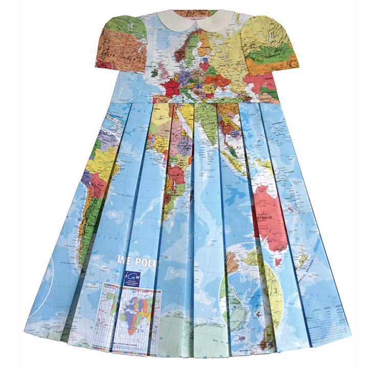
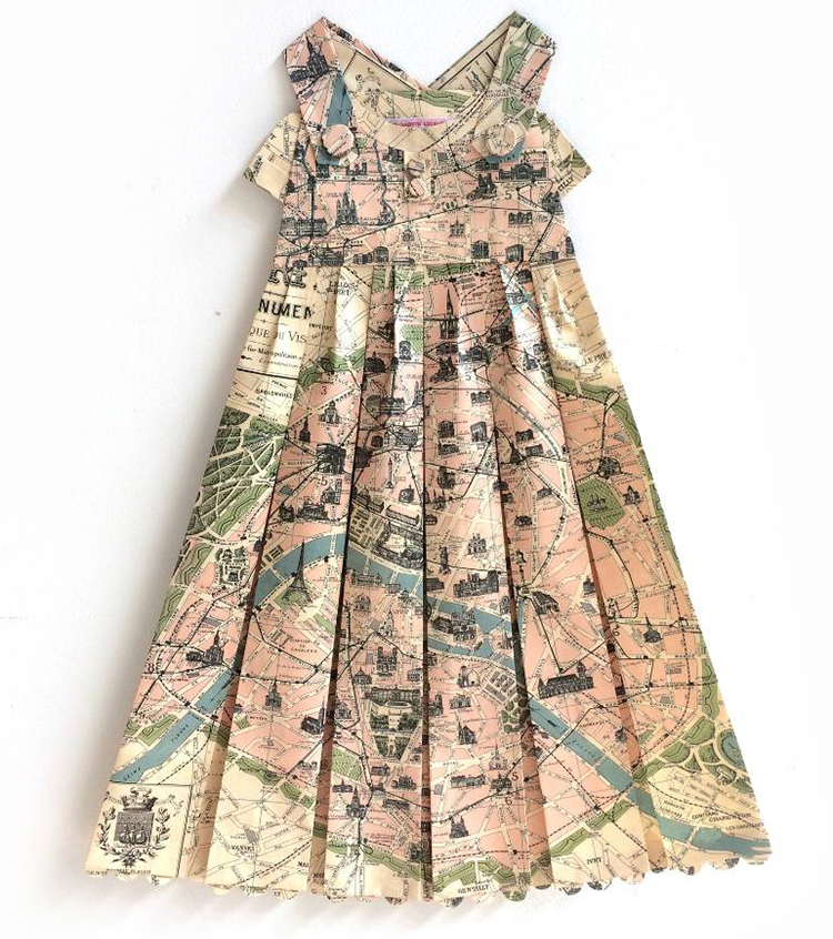
Examples from “Les robes géographiques” by Elisabeth Lecourt. https://bit.ly/1gkrs0k
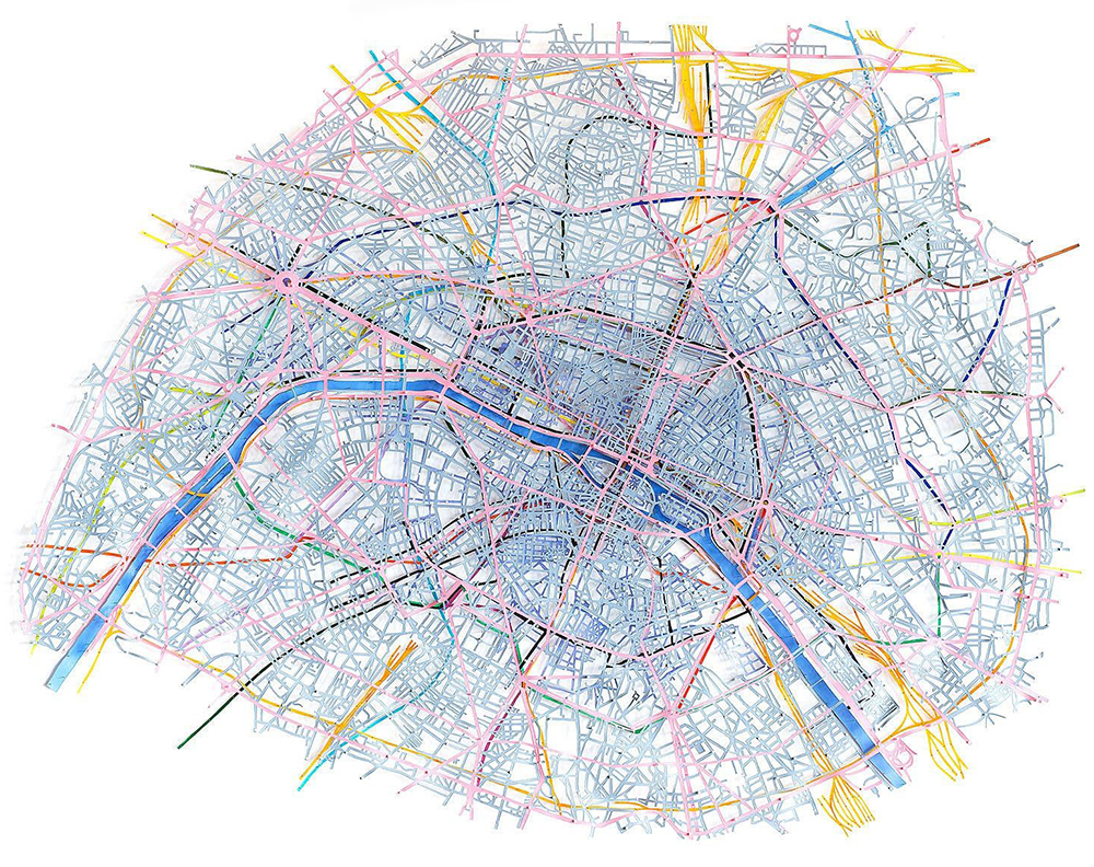
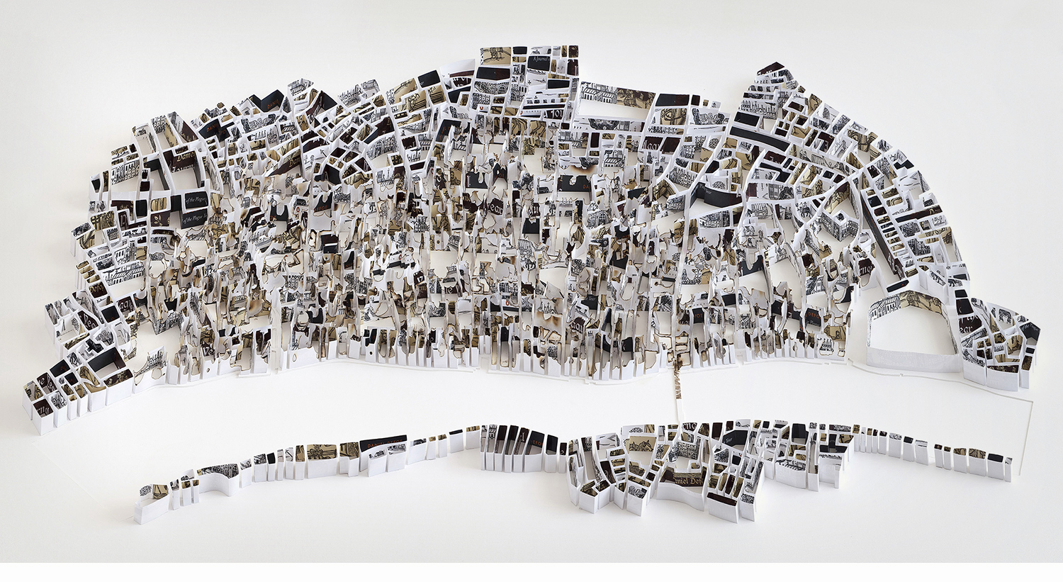
Historical city maps by Matthew Picton. http://matthewpicton.com
Below, Paris 1749. Layered information using Duralar film, paint and pins.
London 1666. Made from book covers of “The Plague Years” by Daniel Defoe.
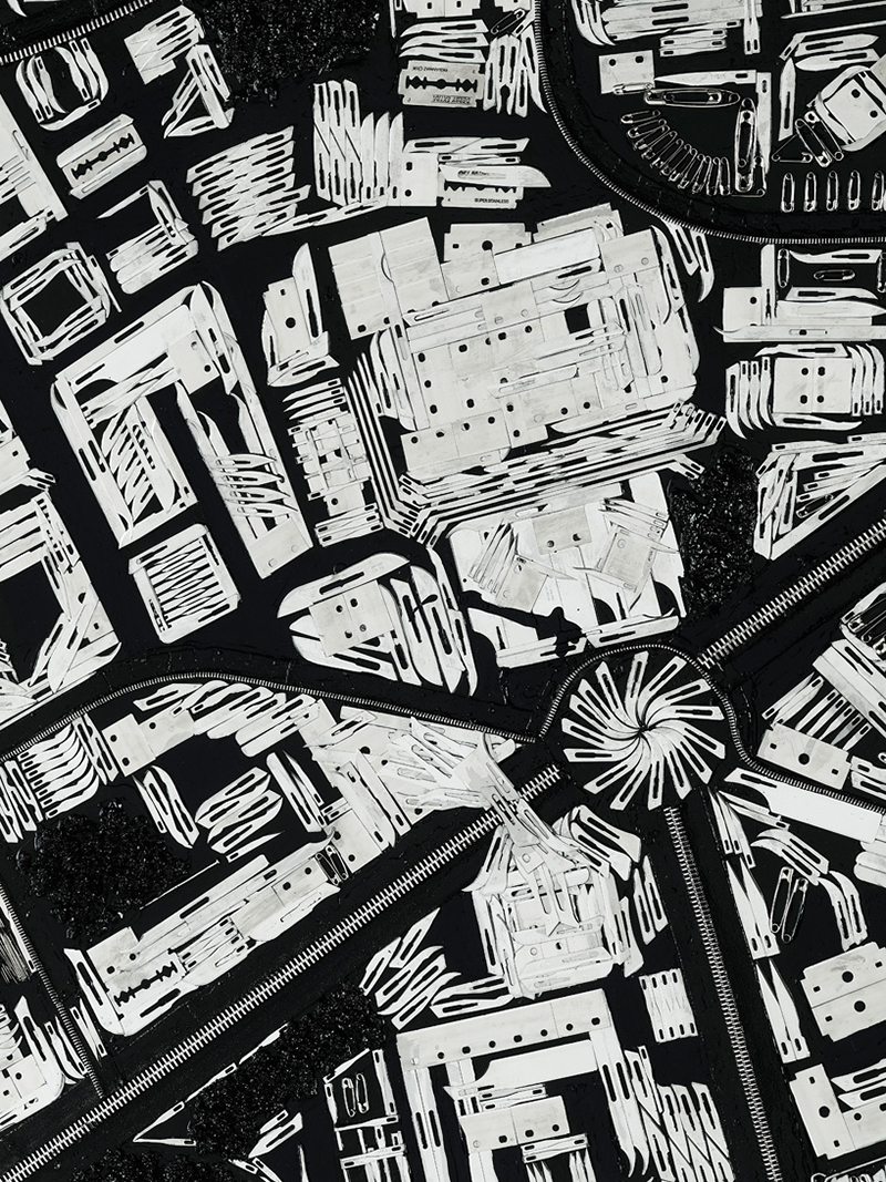
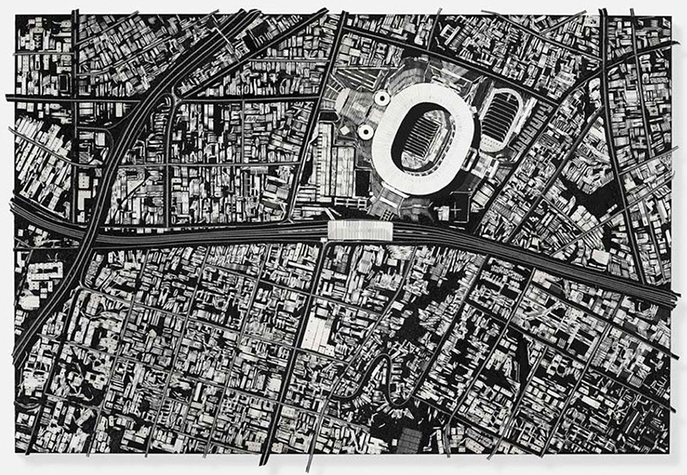
Damion Hurst constructed 17 city maps using knife blades, razor blades, fish hooks and other sharp metal items for his “Black Scalpel Cityscapes” exhibition. https://bit.ly/2Ee6jvl
Below, an area of Rio de Janeiro.
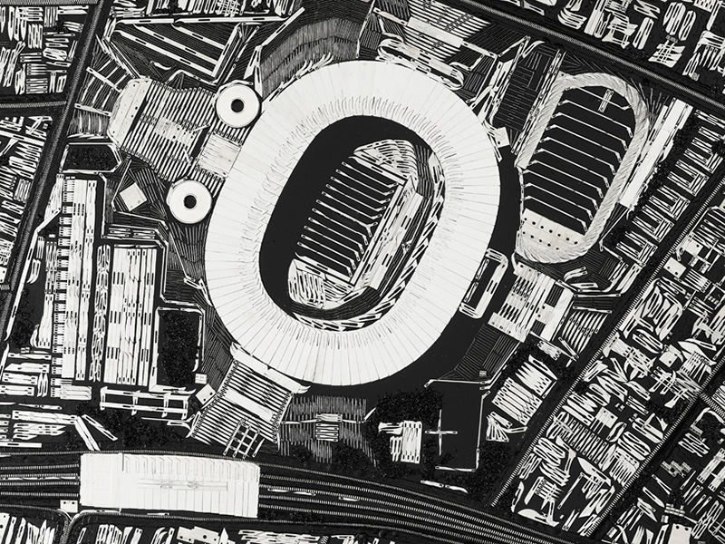
London (Detail).
