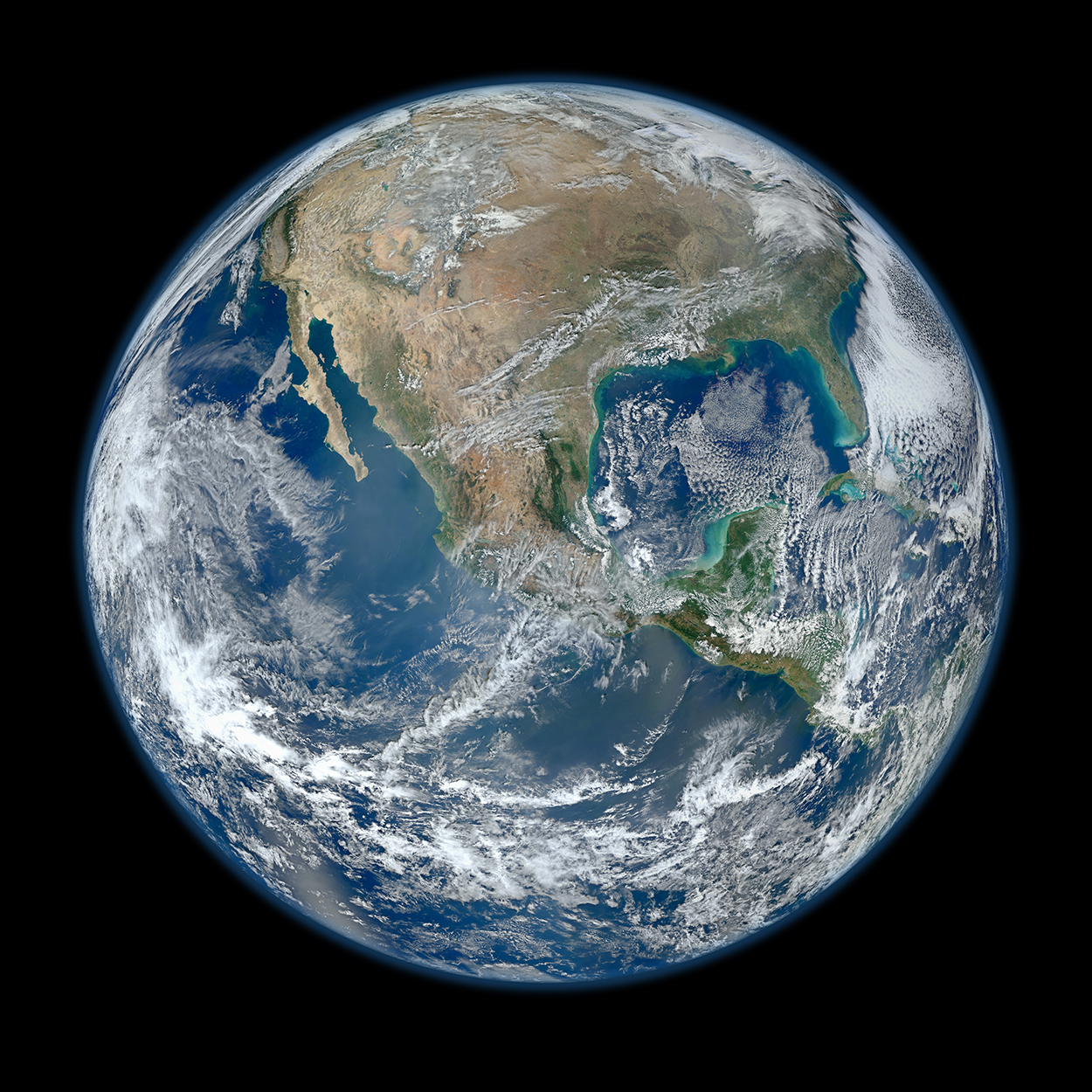
DAY AND NIGHT SATELLITE VIEWS OF OUR WORLD.
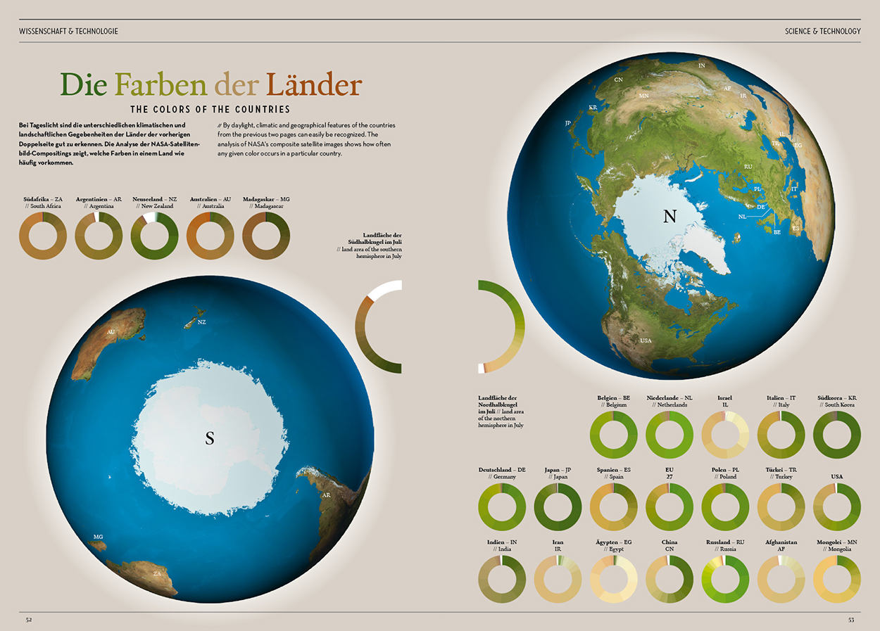
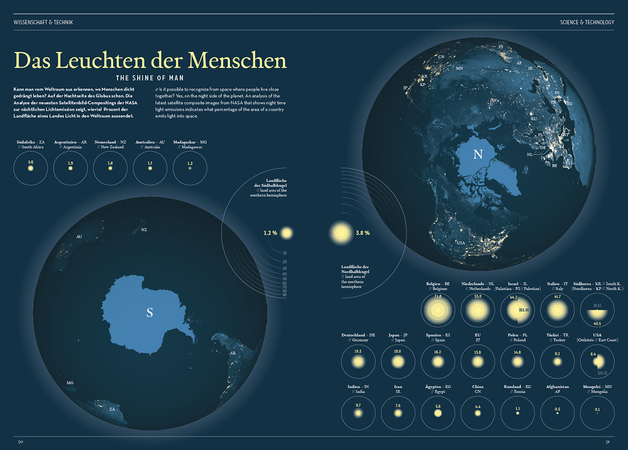
Color and light The Earth’s surface analyzed by country. By Dirk Aschoff for In Graphics magazine Volume 05, published by Golden Section Graphics, which is now IGG (Infographics Group).
Click on the images for larger versions.
I’ve posted twice before about this excellent infographic magazine:
https://wp.me/p7LiLW-1mX
https://wp.me/p7LiLW-1n1
The Blue Marble Data from NASA’s Earth Polychromatic Imaging Camera (EPIC).
Download the high-resolution file here:
https://secure.flickr.com/photos/gsfc/6760135001/sizes/o/in/photostream/
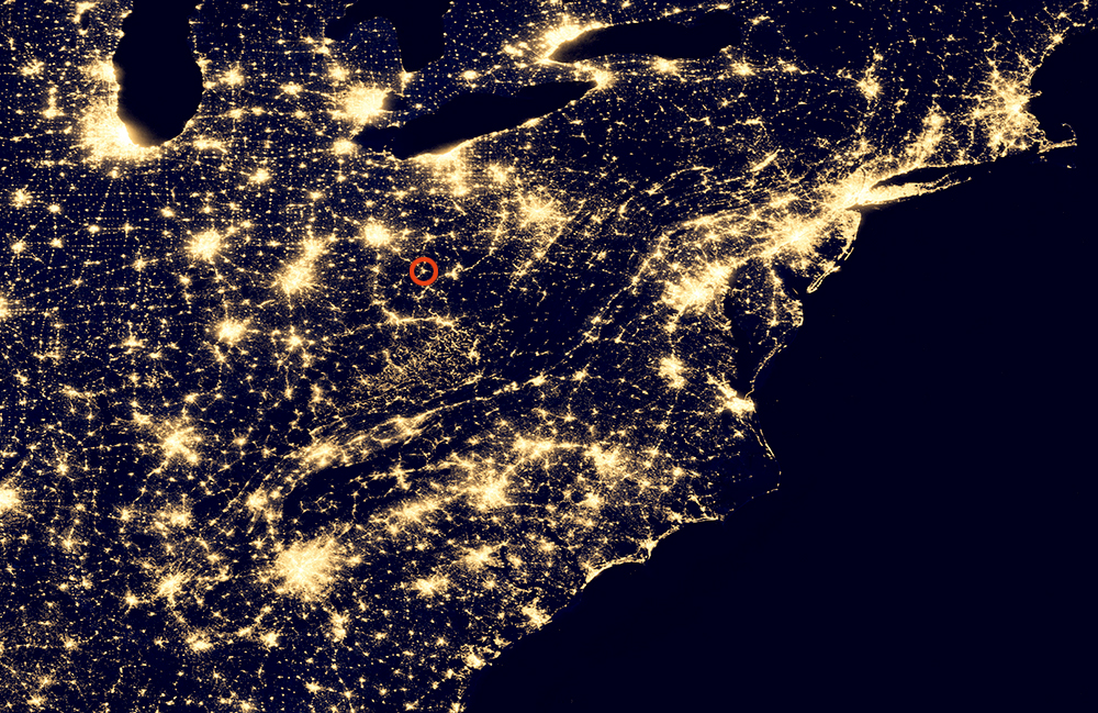
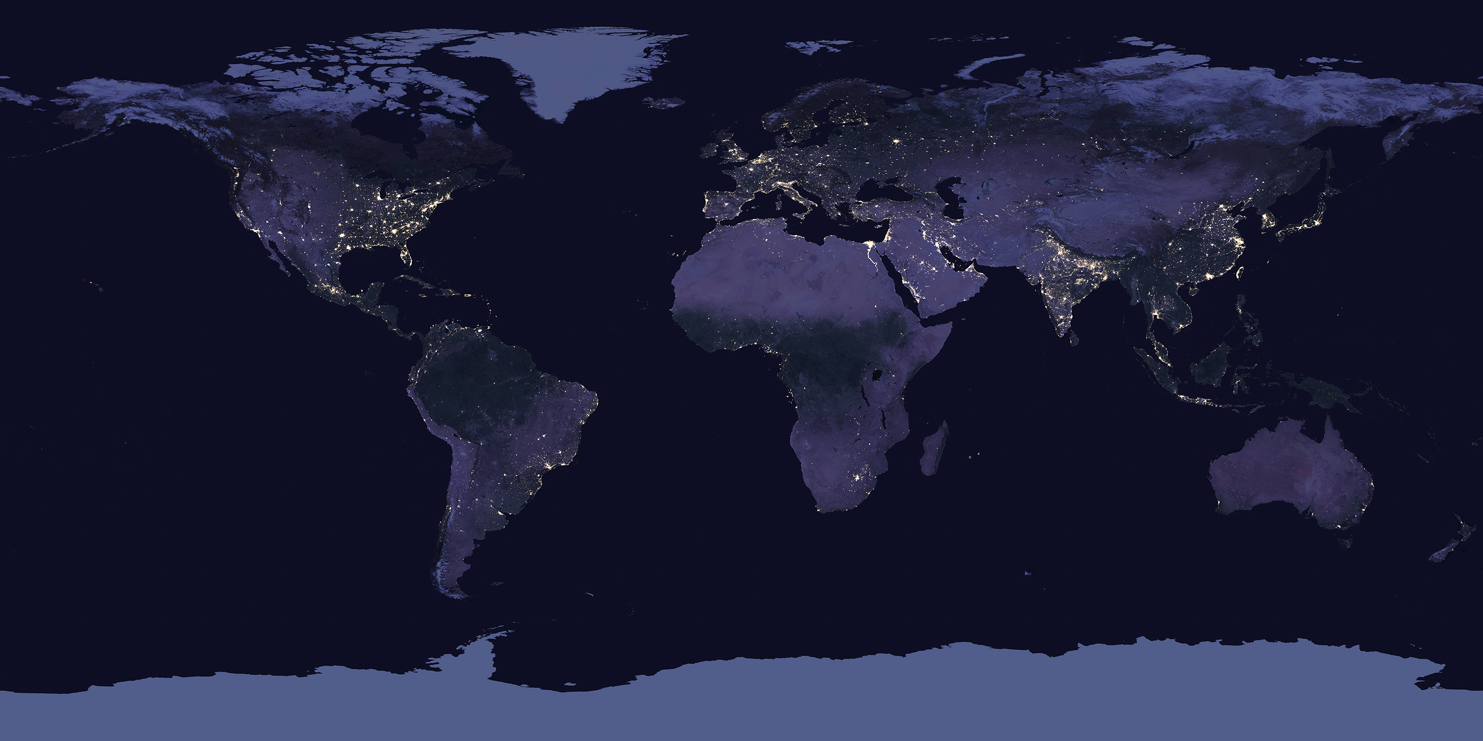
City lights The Suomi National Polar-orbiting Partnership (Suomi NPP) satellite took 312 orbits to get a complete clear shot.
Click on the image for a larger version.
Home I’m sitting here in Ohio writing this post.
